The United Kingdom
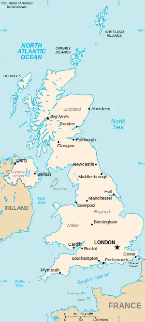
This is part of the list of United Kingdom locations: a gazetteer of place names in the United Kingdom showing each place's locality and geographical coordinates.
Cl
Cla
Clab-Clap
Clar
Clas-Clau
Clav-Clax
Clay
Cle
Cli
Clo
Clu
Clw
| Location | Locality | Coordinates (links to map & photo sources) |
OS grid reference |
| Clwt-y-bont | Gwynedd | 53°08′N 4°08′W / 53.13°N 04.13°W | SH5762 |
| Clwydyfagwyr | Merthyr Tydfil | 51°44′N 3°25′W / 51.74°N 03.42°W | SO0206 |
Cly
Cn
| Location | Locality | Coordinates (links to map & photo sources) |
OS grid reference |
| Cnoc Amhlaigh | Western Isles | 58°14′N 6°10′W / 58.24°N 06.17°W | NB5536 |
| Cnoc an t-Solais | Western Isles | 58°16′N 6°19′W / 58.27°N 06.31°W | NB4740 |
| Cnoc Ard | Western Isles | 58°29′N 6°14′W / 58.49°N 06.24°W | NB5364 |
| Cnocbreac | Argyll and Bute | 55°53′N 6°05′W / 55.88°N 06.09°W | NR4473 |
| Cnoc Mairi | Western Isles | 58°13′N 6°25′W / 58.21°N 06.42°W | NB4034 |
| Cnoc nan Gobhar | Western Isles | 58°13′N 6°22′W / 58.21°N 06.37°W | NB4333 |
| Cnwch Coch | Ceredigion | 52°21′N 3°57′W / 52.35°N 03.95°W | SN6775 |
This article is issued from Wikipedia. The text is licensed under Creative Commons - Attribution - Sharealike. Additional terms may apply for the media files.