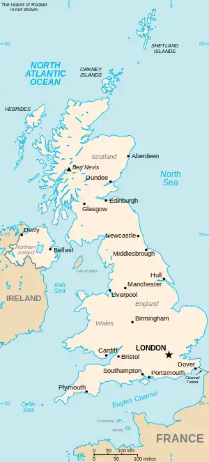
The United Kingdom
This is part of the list of United Kingdom locations: a gazetteer of place names in the United Kingdom showing each place's locality and geographical coordinates.
Ka
| Location | Locality | Coordinates (links to map & photo sources) |
OS grid reference |
| Kaber | Cumbria | 54°29′N 2°19′W / 54.49°N 02.32°W | NY7911 |
| Kaimend | South Lanarkshire | 55°41′N 3°36′W / 55.68°N 03.60°W | NS9945 |
| Kaimes | City of Edinburgh | 55°54′N 3°11′W / 55.90°N 03.18°W | NT2668 |
| Kaimhill | Aberdeenshire | 57°07′N 2°08′W / 57.11°N 02.13°W | NJ9203 |
| Kaimrig End | Scottish Borders | 55°39′N 3°26′W / 55.65°N 03.44°W | NT0941 |
| Kalnakill | Highland | 57°31′N 5°51′W / 57.51°N 05.85°W | NG6954 |
| Kames | East Ayrshire | 55°31′N 4°04′W / 55.51°N 04.07°W | NS6926 |
| Kames | Argyll and Bute | 55°53′N 5°14′W / 55.88°N 05.24°W | NR9771 |
| Kates Hill | Dudley | 52°30′N 2°04′W / 52.50°N 02.07°W | SO9590 |
Ke
Kea-Kem
Ken-Key
This article is issued from Wikipedia. The text is licensed under Creative Commons - Attribution - Sharealike. Additional terms may apply for the media files.